 The Frosterley Table
Walking in the Durham Dales: How to Choose a Route
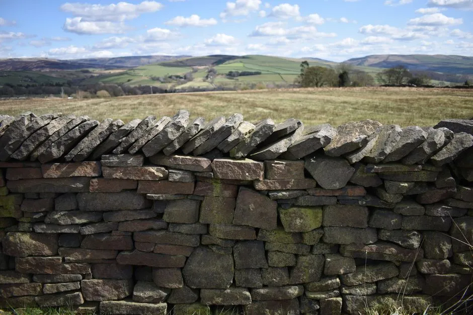
- How do you choose a walk in the Durham Dales?
- What counts as the Durham Dales?
- Who wrote the route, and when?
- How far and how much climbing is realistic?
- What will the ground be like underfoot?
- What will the weather be doing up there?
- How much daylight do you have?
- Can you get there, walk it and bring the dog?
- What should you do if something goes wrong?
- A five-minute check before you set off
- Where does a dales walk end?
- Sources
How do you choose a walk in the Durham Dales?
Walking in the Durham Dales rewards a little homework. Before you follow any route, compare five things: who published it and when, the distance, the total ascent, the ground underfoot, and the forecast for the high ground rather than the valley. Then check daylight, access rules and parking, and be honest about the slowest walker in the group. A riverside loop in Teesdale and a moorland crossing above Weardale can share a postcode and nothing else.
What follows is a way of reading a route before you lace up, built on official guidance and one worked example. It does not replace the current directions, maps and notices published for the route you choose; it helps you judge whether that route suits your day.
What counts as the Durham Dales?
The Durham Dales usually means the upland western side of County Durham, chiefly Weardale (the valley of the River Wear) and Teesdale (the valley of the River Tees), with their smaller side valleys. The county tourism listing for the North Pennines National Landscape says the protected landscape "incorporates much of the Durham Dales" and that "the North Pennines is also a UNESCO Global Geopark," a designation for areas recognised for their geology (This is Durham).
The same listing describes "a vast rights of way network, including the Pennine Way National Trail," and the county's walking page adds "numerous circular walks and large areas of open access land" (This is Durham). That range is the point: short valley strolls and serious upland days sit side by side, and the name of a dale tells you very little about the walk.
If you are still deciding which corner of the county to base yourself in, our round-up of things to do in County Durham sets the dales against the city and the coast.
Who wrote the route, and when?
Start with the source, because two honest descriptions of the "same" walk can disagree. Take the much-photographed riverside walk from Bowlees, in Upper Teesdale, to the waterfalls at Low Force and High Force.
- The county tourism blog describes it as "a moderate five mile circular walk," starting at Bowlees Visitor Centre, in a post dated November 2020 (This is Durham).
- Walking Britain's version, which returns across open country to the village of Holwick, lists 7.5 miles (12.2 km), 850 feet (258 metres) of ascent, an estimated 4 hours 20 minutes, and a grade of "easy/mod". Its description notes conditions "At the time of writing (2006)" (Walking Britain).
Neither is wrong. They are different loops, graded by different people, written fourteen years apart. Before you commit, ask four questions of any route: who published it, when it was last checked, which exact line it follows, and whether the grade was set by an official body, a guidebook author or an individual walker. A route description that predates a path diversion, a new fence or a washed-out bridge can still be useful for planning, but treat it as a sketch until a current map or notice confirms it.
How far and how much climbing is realistic?
Distance alone flatters a hill walk. Ordnance Survey sets out the long-standing rule of thumb known as Naismith's rule: "Allow one hour for every five kilometres walked," and "Add one hour for every 600 metres of ascent" (Ordnance Survey).
Apply it to the Walking Britain loop above. Its 12.2 km takes about 2.44 hours on distance (12.2 ÷ 5), and its 258 metres of ascent adds about 0.43 hours (258 ÷ 600), for roughly 2 hours 52 minutes of moving time. The route's own estimate is 4 hours 20 minutes. The gap is the useful part: stops for photographs, lunch, gates, stiles and slower walkers are real time, and Naismith counts none of them.
Ordnance Survey also points out the rule's limits. It does not account for how steep a slope is, and it effectively assumes "a single, fit, Victorian mountaineer" (Ordnance Survey). Treat the calculated figure as a floor, plan to the pace of the slowest person in the party, and add generous time on rough or pathless ground.
What will the ground be like underfoot?
Terrain in the dales ranges from firm riverside paths and old railway lines to tussocky moor. National Trails says of the Pennine Way, which crosses Upper Teesdale, that "the path may be narrow and uneven or wet and boggy" in places, and advises: "It's best to take waterproofs and plenty of dry socks" (National Trails).
Open access land changes the navigation picture. The Countryside Code tells walkers to "Stay on marked paths, even if they're muddy, unless wider access is available," and explains that on open access land "you can explore away from paths" (GOV.UK). Freedom to roam also means fewer waymarks, so a route that leaves the path needs a walker who can navigate without them.
For the dales, the relevant Ordnance Survey sheet is Explorer OL31, North Pennines: Teesdale & Weardale, at 1:25,000 scale (Ellis Brigham listing). Ordnance Survey's safety guidance favours a paper map because it "doesn't need batteries or charge," and lists "Map and compass, mobile phone, torch and spare head torch" as essential kit (OS Maps).
What will the weather be doing up there?
Valley weather is a poor guide to the tops. The Teesdale and Weardale Search and Mountain Rescue Team describes large areas of North Pennine high fell as "prone to some of the most extreme weather in the country" (TWSMRT). The Countryside Code puts it plainly: "Check weather forecasts before you set off," because "Conditions can change quickly on mountains and along the coast" (GOV.UK).
A general forecast for a town will not tell you about wind on a summit. The Mountain Weather Information Service publishes a Yorkshire Dales and North Pennines forecast covering "The entire Yorkshire Dales National Park and North Pennines AONB, including the Three Peaks and Cross Fell," with sections such as "How windy? (On the summits)", "Effect of the wind on you?", "Cloud on the hills?" and "How Cold? (at 700m)" (MWIS). Read it alongside the route: a moorland day in strong wind and low cloud is a different walk from the same line in clear weather.
Decide your turning-back point before you start. Ordnance Survey's advice is to "Be prepared to turn back if conditions turn against you, even if this upsets a long-planned adventure" (OS Maps).
How much daylight do you have?
Work backwards from sunset, not forwards from breakfast. Ordnance Survey reminds walkers that "in winter, it gets dark early!" and that "Both a torch and whistle can be used to signal for help" (OS Maps). Take your realistic route time, with stops added, and make sure you will be off any open moor with time in hand before the light goes. Our guide to the best time to visit County Durham covers how the seasons shift daylight, ground conditions and what is open.
Can you get there, walk it and bring the dog?
Access is more than finding the car park. Three checks are worth making.
Rights and restrictions. GOV.UK explains that open access land covers land "mapped as open country (mountain, moor, heath or down)," and that its online maps show "details of any local restrictions or exclusions that limit the public's rights" (GOV.UK). Check them shortly before a moorland walk. On public rights of way in the county, Durham County Council runs a form to "report an issue with a public right of way, or countryside path," which is also a sign that paths can be blocked or damaged between one guidebook edition and the next (Durham County Council).
Dogs and livestock. The Countryside Code states: "Between 1 March and 31 July, you must have your dog on a lead on Open Access land," even "if there is no livestock on the land." It warns that livestock behaviour "can be unpredictable, especially when they are with their young and you could get hurt," and advises: "Let your dog off the lead if you feel threatened by livestock or horses." It also asks walkers to "Leave gates and property as you find them" (GOV.UK).
Ability and mobility. Not every walk needs a hill. The county tourism site keeps a list of accessible walks that it describes as "pushchair and wheelchair friendly," and Hamsterley Forest, on the edge of the dales, appears on that list (This is Durham). Confirm surfaces, gradients and gates with the route publisher before relying on any listing.
What should you do if something goes wrong?
Plan for this before you leave, while you still have signal and time.
- Tell someone your route and return time. The Countryside Code asks walkers to "Tell someone else where you are going and when you expect to be back," and warns that "phone signals are unreliable in many places" (GOV.UK).
- Know the call. Ordnance Survey's guidance is: "In an emergency, ring 999 or 112, ask for police and then ask for Mountain Rescue" (OS Maps).
- Register for emergency text in advance. The same guidance says to "Text 'register' to 999 and follow the instructions" before you need the service (OS Maps).
Near rivers, waterfalls and gorge edges, keep to the path, keep children and dogs close, and follow any signs on the ground. If a crossing, a slope or the weather looks beyond the group, turn back.
A five-minute check before you set off
- Source: who published the route, when was it last checked, and does it match your current map?
- Distance and ascent: run Naismith's rule, then add time for stops and the slowest walker.
- Terrain: paths, tracks or open moor; can everyone navigate if the waymarks run out?
- Conditions: upland forecast read, turning-back point agreed.
- Daylight: finish time set with a margin before dark.
- Access: open access restrictions, dog rules, parking and gates checked.
- Kit and contact: paper map, compass, torch, waterproofs, charged phone; someone knows your plan.
Where does a dales walk end?
Ideally, somewhere warm. Many dales villages have a pub, and a walk planned to finish with daylight to spare leaves time for a proper sit-down rather than a race against the dark. If you are new to ordering at a British bar, our guide to pub etiquette explains how it works, and the wider County Durham section has more to plan around.
Sources
- This is Durham: North Pennines National Landscape
- This is Durham: Walking in the North Pennines
- This is Durham: Six scenic walks and rides in Durham
- This is Durham: Accessible walks
- Walking Britain: High Force, Low Force and River Tees from Bowlees
- Ordnance Survey: Why we're adjusting Naismith's rule
- OS Maps: Mountain safety guide
- National Trails: Pennine Way
- Ellis Brigham: OS Explorer Active OL31 North Pennines, Teesdale & Weardale
- Teesdale and Weardale Search and Mountain Rescue Team
- Mountain Weather Information Service: Yorkshire Dales and North Pennines
- GOV.UK: The Countryside Code
- GOV.UK: Open access land, management, rights and responsibilities
- Durham County Council: Report a problem with a Public Right of Way
Frequently asked questions
How long will a Durham Dales walk take?
Ordnance Survey's statement of Naismith's rule allows one hour for every five kilometres plus one hour for every 600 metres of ascent. That gives moving time only. A 12.2 km loop with 258 metres of climbing works out at about 2 hours 52 minutes, while its published estimate is 4 hours 20 minutes, so add time for stops, stiles, rough ground and the slowest walker.
Which map covers Teesdale and Weardale?
The Ordnance Survey Explorer sheet for the area is OL31, North Pennines: Teesdale & Weardale, at 1:25,000 scale. Ordnance Survey's safety guidance favours carrying a paper map because it does not need batteries or charge, alongside a compass, phone, torch and spare head torch. Check that your map edition and route description agree before setting out.
Can I take my dog walking in the Durham Dales?
Usually, but the Countryside Code says that between 1 March and 31 July you must keep your dog on a lead on Open Access land, even where no livestock is present. Livestock can be unpredictable, especially with young, and the Code advises letting your dog off the lead if you feel threatened by livestock or horses. Check local restrictions before moorland walks.
Where can I get a mountain weather forecast for the Durham Dales?
The Mountain Weather Information Service publishes a Yorkshire Dales and North Pennines forecast that covers the North Pennines, including Cross Fell. It reports summit wind, its effect on walkers, cloud on the hills and temperature at 700 metres. Read it with your route in mind and agree a turning-back point before you start, because upland conditions can change quickly.